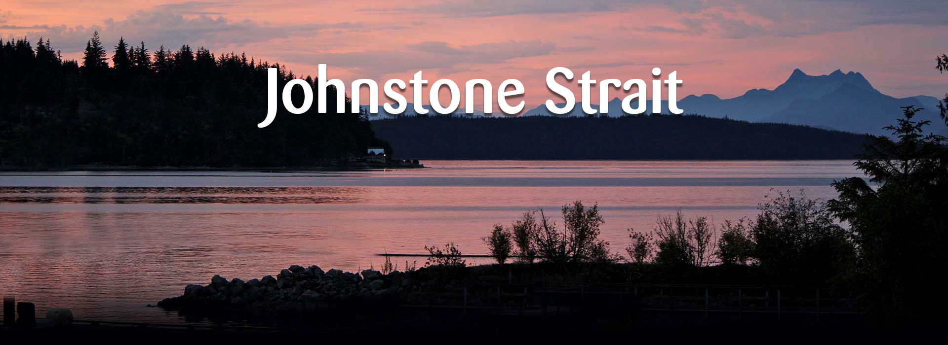


This area of Johnstone Strait predominantly used by sea kayak companies and adventurous members of the public stretches from Telegraph Cove to the Western boundary of the Michael Bigg Ecological Reserve (Robson Bight).
The shoreline of Vancouver Island between Telegraph Cove and the Ecological Reserve has a number of rugged southeast facing beaches that can be accessed by sea kayak. That being said, a word of caution to all about the constant moving water of Johnstone Strait. Expect to find rocky beaches and rugged shorelines, especially at low tide. Water is available on the Vancouver Island shoreline and it should be filtered. Some beaches are used by local sea kayak companies as base camps while other beaches are not suitable for camping due to the tides and exposure to the Southeast Winds. We recommend taking advantage of our Consulting Service to best plan your kayak camping trip. This service only offered to folks who are doing business with us and booking a rental/transport package.
Hear are some specifics for you to consider when planning your trip. The flow of sea water into Johnstone Strait enters through two large passages. Negotiating both of these passages is complicated by the constant large vessel traffic that frequents these waters daily. Johnstone Strait averages 3-4 nautical miles in width and currents range from +8 knots at their peak and averages +5 knots at most times. Tides reach highs of 15.8 feet and lows of 0.0 feet. Prevailing winds come from either the northwest or the southeast. In the Strait, it is always a good idea to monitor large and recreational vessel traffic before venturing out into deep waters or approaching the rugged shoreline that exists in many places. To do this monitor channel # 71 but do not try to transmit on this channel. Summer storms usually move through the area within 12-48 hours. Call outs are put out regularly on the VHF weather channel #1 starting @ 4 am each morning. You should check the weather early in the morning, at 1 pm and at 4 pm to see if the conditions are going to stabilize or decline.
Constant attention to the changing weather and current patterns is essential. And having the ability to interpretate the repors is critical in planning a trip. Check out the weather days before coming into these waters at http://www.theweathernetwork.com/marine/wwma001150
BC Marine Weather Forcast
http://weather.gc.ca/marine/
A number of camping site exist at Kikash Beach, the site of a logging operation from years ago. The camp setting is rustic. Tents can be put up on what is left of an old logging road that extends the length of a rocky beach to the Ecological Reserve Signage. A fully functioning composting toilet awaits visitors at the edge of the forest. It is “pack in pack out” at this and all sites in the JS area.
No public access is available at Robson Bight Ecological Reserve. Wardens monitor vessel traffic and help put wayward mariners back on track. They also encourage land based whale watching to using a kayak or a boat to view whales from. But if you conduct yourselves in a manner to do nothing to change the behaviour of the wildlife you are viewing,,then we all thank you in advance.
Johnstone Strait is a treasure. We should all work at keeping it pristine and untouched by leaving a small foot print. May you have the trip of you life when you come to this wonderful area of Canada.